We see the bigger picture
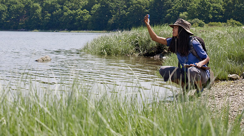
We see more in clean water—more than the science, more than the planning, and more than the design. We see the families and communities we serve, and the fragile ecosystems we protect. It doesn’t get any bigger than that.
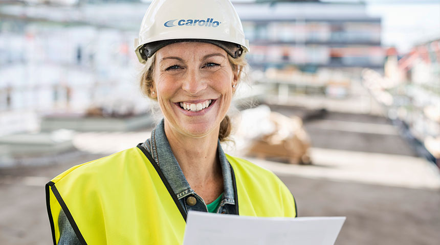
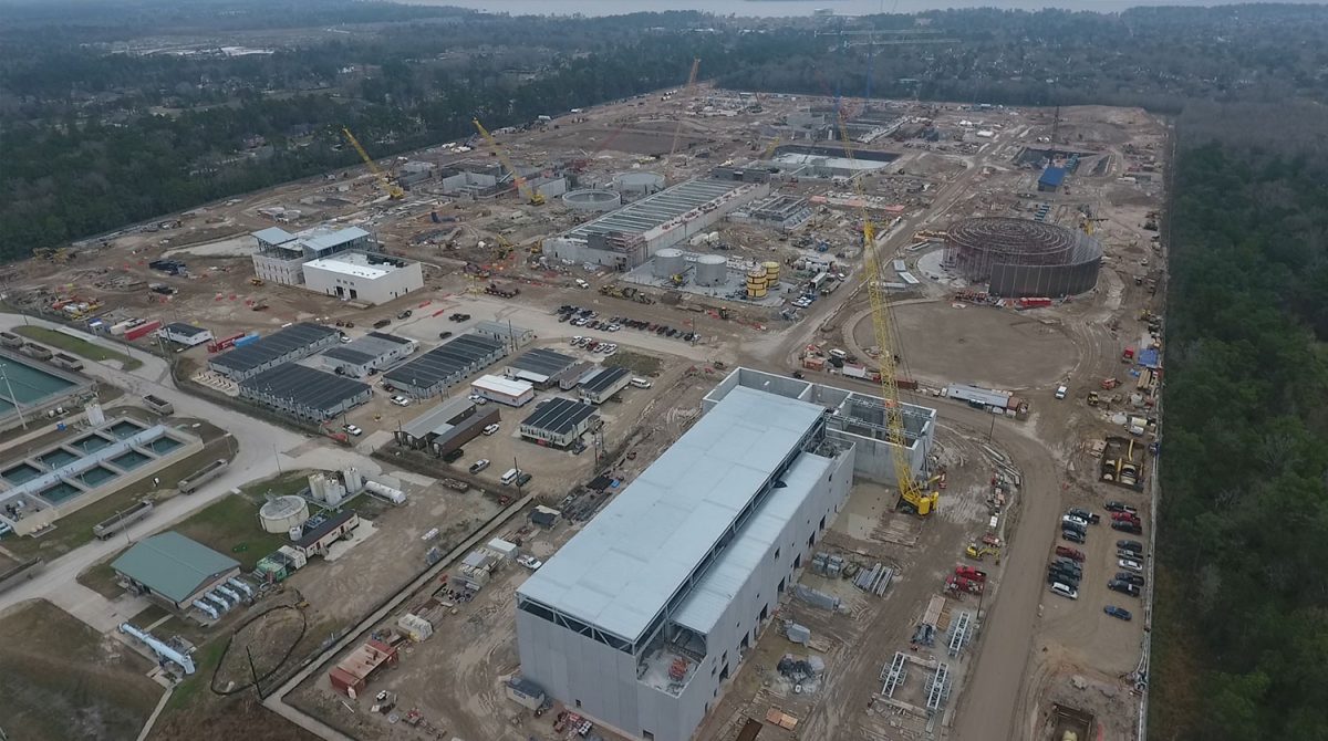
For more than 90 years, Carollo Engineers has been 100% focused on water and wastewater solutions. For our clients, this means expertise and experience that deliver improved performance, minimized risk, and capital reductions—helping you stay ahead of potential issues. For our employees, it means being a part of something that can change lives, and the world we live in.
When you do one thing, and do it well, amazing things happen. New thinking emerges. Ideas are born. When you partner with us, as a client or employee, you’ll find innovation comes standard. It’s not innovation for innovation’s sake—we generate proven solutions that fit clients’ needs and budget, as well as inspire us.
Innovation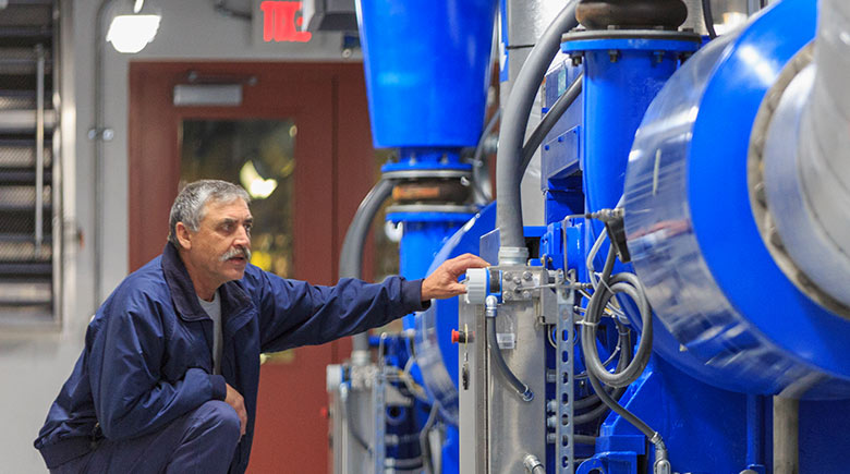
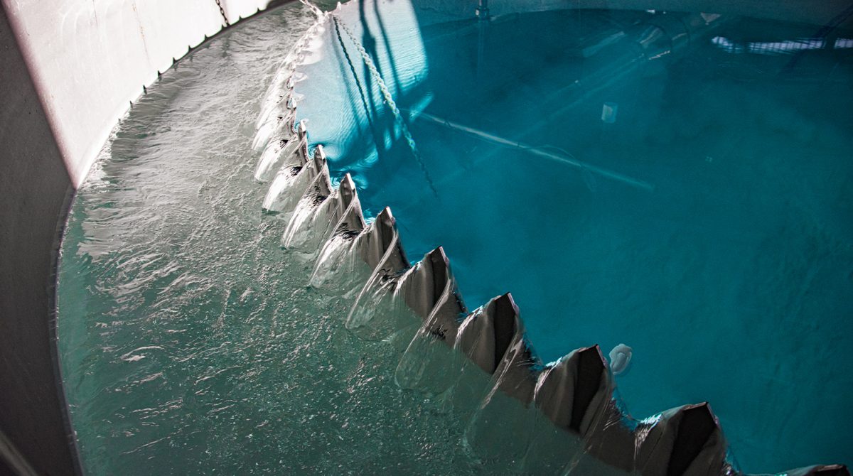
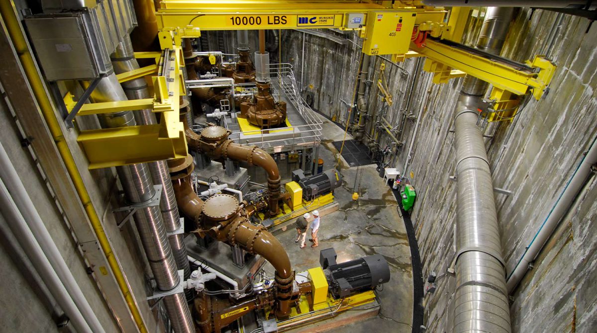
Because water is all we do, we put all our resources into your project. From drinking water and wastewater to water reuse and so much more, our breadth of expertise is comprehensive.
View our Expertise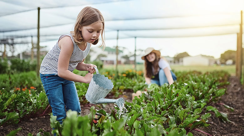
Clean, safe water is a foundation for healthy ecosystems and thriving communities. Sustainability, education, charity, and a caring culture aren’t just words to us. They are what drive us every single day, igniting passion in our employees, customers, and our youth.
See How Carollo CaresIf so, consider joining our team. You’ll collaborate with coworkers who are the best and the brightest, challenge yourself on exciting work, and help build the best water consulting firm in the U.S.